Isaias Spawns Tornadoes, Flooding in Bay Region

Southern Maryland is Hit Hardest
by Tropical Storm
Most people in the Chesapeake region are breathing a sigh of relief now that the threat of a damaging tropical storm is behind us. But others are still cleaning up from tornadoes, fallen trees and high water.
At the height of the storm, the ports of Wilmington, Virginia, Baltimore and Delaware Bay were all shut down. The Bay Bridge was closed to all traffic, a measure the Maryland Transportation Authority only puts in effect when there are “sustained winds of 55 miles per hour for 10 minutes or wind gusts persistently exceed 55 mph over a period of 15 minutes.”
The National Weather Service confirmed “numerous” tornadoes near the Bay, including two on the Delmarva Peninsula, three in Southern Maryland, and two confirmed by radar on Virginia’s Northern Neck. One of those in Southern Maryland was an EF-1 that touched down at 7:30 a.m. in North Dares Beach, with sustained winds of 90 miles per hour.
Wind damage was reported to the National Weather Service in many parts of Bay Country, including Huntingtown and Londontowne. The worst winds brought a tree crashing down onto a moving car in Mechanicsville, St. Mary’s County, killing the driver. Rain totals ranged from about two to an eye-popping nine inches (also in St. Mary’s County—in Sotterley along the Patuxent River).
In Calvert County, Prince Frederick saw rainfall of 8.42 inches and Plum Point recorded 6.25 inches. Cape St. Claire registered Anne Arundel County’s highest rainfall total at 5.75 inches.
Tropical storms don’t pass this close to the Chesapeake Bay often, and there’s no question Isaias’ impact could have been worse. The predicted one- to three-foot storm surge was a far cry from Hurricane Isabel’s in 2003, which sent a storm surge from six to eight feet over our waterfront cities and towns.
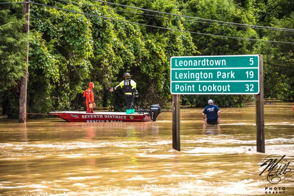
But vulnerable places like Annapolis and Crisfield saw water up and over roadways. Near Annapolis City Dock, Compromise Street was shut down and the city warned drivers to, Turn around, don’t drown! Sandbags were handed out to businesses and residents ahead of the storm.
Hurricane season isn’t over yet: September is the most active month for Atlantic hurricanes, and NOAA’s National Hurricane Center predicted this season to be above average.
